|
Infra Suite |
|
Infra Suite |
|
TOPOMAP |
Importing georeferenced mapping raster imagery into the active AutoCAD drawing is being performed by means of few simple wizard-driven steps. The primary use of this wizard is to bring an image into the DWG and adjust the position of the image relative to your model such that the model will lie in the proper scale and position on the earth's surface.
Import Map wizard drives you through the following steps:
Raster Imagery Cache
TopoPlanner uses specialized image-caching techniques to provide fastest georeferenced raster imagery access possible. There's specific cache portion (catalog) for each mapping provider, map type and zoom scale. TopoPlanner queries following resources, in particular order provided below, while trying to provide requested map data:
Raster cache catalogs are organized into raster pyramids. Raster pyramids are reduced resolution representations of imagery dataset used to improve performance. Pyramid levels consist of raster tiles arranged by scale. Pyramids can speed up the fetching of raster data by retrieving only the data at a specified resolution that is required for the selected area of interest. TopoPlanner chooses the most appropriate pyramid level automatically based on the specified display scale.
Common Map Types
There are "common" sets of map types provided by most map vendors:
|
|
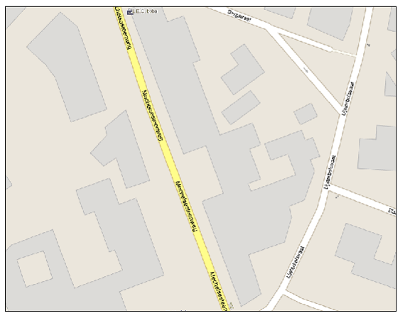
Street map |
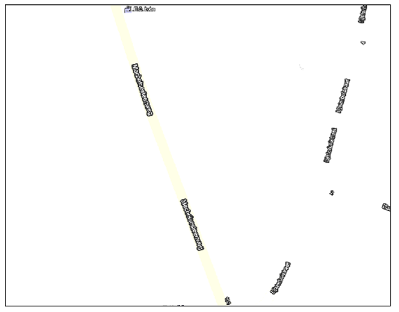
Map labels and symbols |
|
|
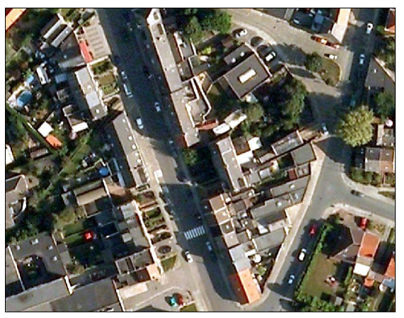
Satellite map |
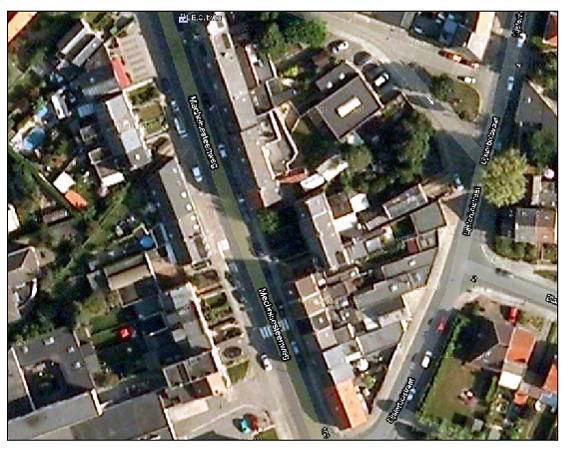
Hybrid map (satellite with labels) |