Ready to Import wizard page indicates you're ready to import the map into AutoCAD using specified settings:
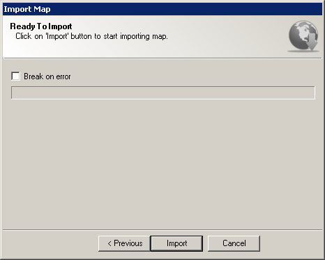
Import Map wizard Ready to Import page
This wizard page provides following options:
It also provides following navigation buttons:
Now you're ready to import the map into AutoCAD using specified settings. Click on Import button to start importing raster imagery data:
Resulting raster image gets inserted into AutoCAD drawing on automatically created layer. Raster image layer name depends on specified map type and map scale, and is concatenated using following rule:
TOPO_[Map name]_[Map scale]
For example, if you selected "Google" as map provider, "Google Satellite" as provider's map type and map scale of 16, resulting layer would be:
TOPO_GOOGLE_SATELLITE_16
Upon inserting of each resulting raster image into the AutoCAD, TopoPlanner attaches custom properties to them making it possible to inspect or update maps later on. Inspecting custom "Map" category properties is performed using standard PROPERTIES command and docker:
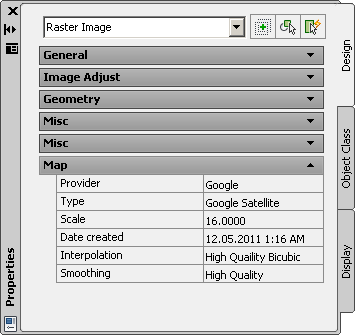
Imported raster image properties
Please note that inspecting custom properties is possible only on workstations having TopoPlanner installed on them. Users without TopoPlanner won't be able to see custom properties attached to inserted raster imagery.
After resulting raster image is inserted in AutoCAD, TopoPlanner automatically attaches an object reactor to it, to avoid the "Unreferenced" warning within External References palette. Resulting behavior is that if you select inserted image in a drawing and try to delete it, AutoCAD automatically asks for detaching raster image's XRef definition from External References palette:
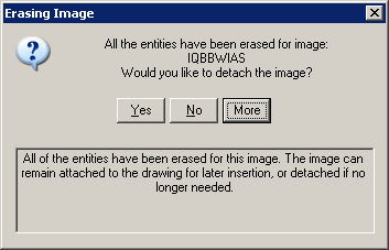
Erasing Image dialog