Data Store Spatial Reference System wizard page enables specifying feature data store coordinate system. Spatial reference system (SRS) or coordinate reference system (CRS) is a coordinate-based local, regional or global system used to store geographical entities:
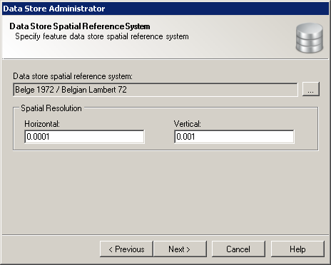
Data Store Administrator wizard Data Store Spatial Reference System page
This wizard page provides following options:
 button next to the source spatial reference system name.
It also provides following navigation buttons: