|
Infra Suite |
|
Infra Suite |
|
GEOCHEKCOUT |
This functionality enables checking-out features from imagery data store into the currently opened drawing. Resulting features are represented as oriented blocks with attached recording meta-data queryable via standard Properties pane. Checked-out features can be also used for GeoView e-Transmittal operation.
Once the tools is started, you are asked to define the area of interest:
Specify first corner point or [Viewport/Select]:
Command supports following selection options:
Specified area is displayed using red dashed lines on the screen. Once confirmed, any GeoView data store recordings within specified boundaries get checked-out into the drawing:
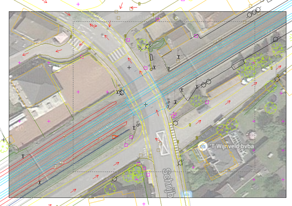
Selecting area of interest for GeoView recordings check-out operation
After specifying area of interest, any contained GeoView recordings get inserted in currently opened drawing as oriented blocks located in specified layer:
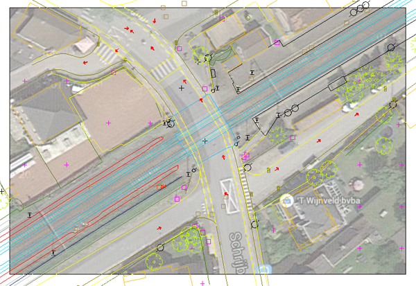
Resulting GeoView recordings for check-out operation
Selecting any of the checked-out blocks will also display associated recording meta-data in Properties pane:
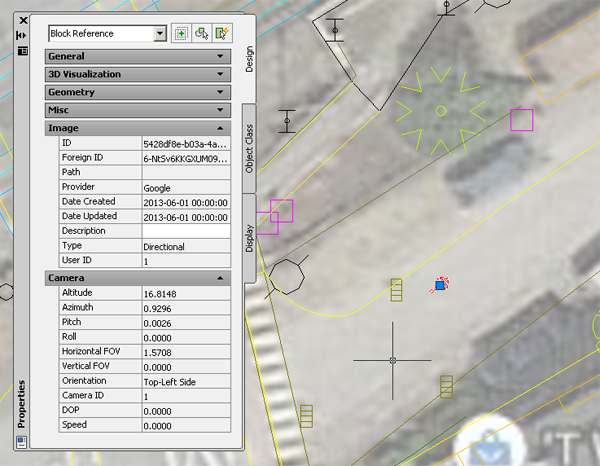
Querying resulting GeoView recording meta-data

